Searching for Water Solutions: from a “Land of Wood and Water” to the Sonoran Desert - CLIMAS E&S Grad Fellow
An abundance of water or the lack of it has always featured heavily in my life. I grew up in the tropical island of Jamaica which is known as the “Land of Wood and Water”. Although surrounded by the Caribbean Sea, as you traverse the island you will be hard pressed to travel 5 miles without encountering a stream or water feature. Water is intertwined into every aspect of social, economic and cultural life. As children, we regularly went to the beach and played in a stream adjacent to our family farm, oblivious of the connections to exposure to agrochemical runoff from the farm that provided my family’s livelihood. Religious groups perform rituals such as baptisms in water bodies across the island. Tourism, the main contributor to the national economy, is built around water resources as a key natural asset.
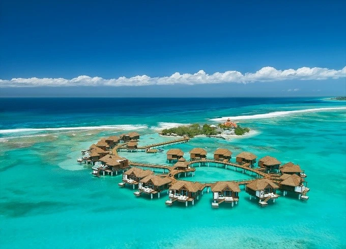
Fig.1 Beach bungalows on Jamaica’s south coast
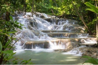
Fig. 2 Waterfall in interior uplands
It may not be readily evident why someone from a tropical island, with a presumed abundance of water resources, found her way to the desert to study water. I certainly did not see the connection between these disparate worlds on my first trip to the desert, visiting the Hoover Dam as a tourist several years ago. My untrained mind was captivated by the ability to create such a man-made wonder to harness water in the desert. I was simultaneously shocked by the surrounding barren landscape – absent of green vegetation. Since then, I obtained a Master’s in Earth and Environmental Resources Management at the University of South Carolina and achieved PhD (ABD) status at University of Iowa in Geographical and Sustainability Sciences. I have worked to design and implement water quality monitoring programs in Iowa streams and South Carolina wetlands. I gained valuable experience and multiple perspectives while working as a Natural Resource Manager in civil society, government and private sector organizations in Jamaica and acting to address water resource conservation issues and development of local sustainable development policy.
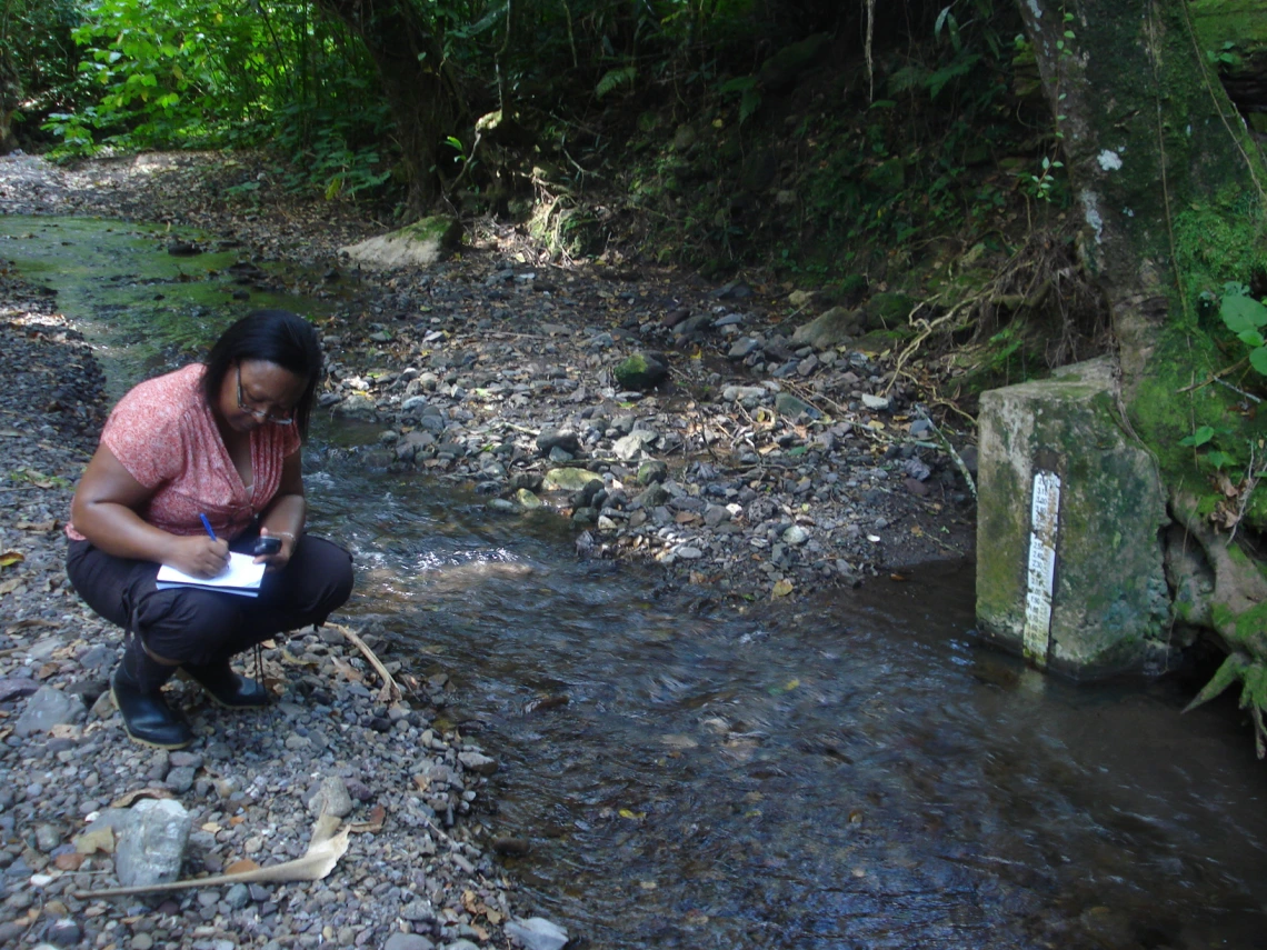
Fig. 3 Monitoring water level in Jamaican stream
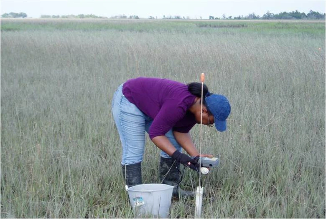
Fig. 4 Wetland water quality monitoring in South Carolina
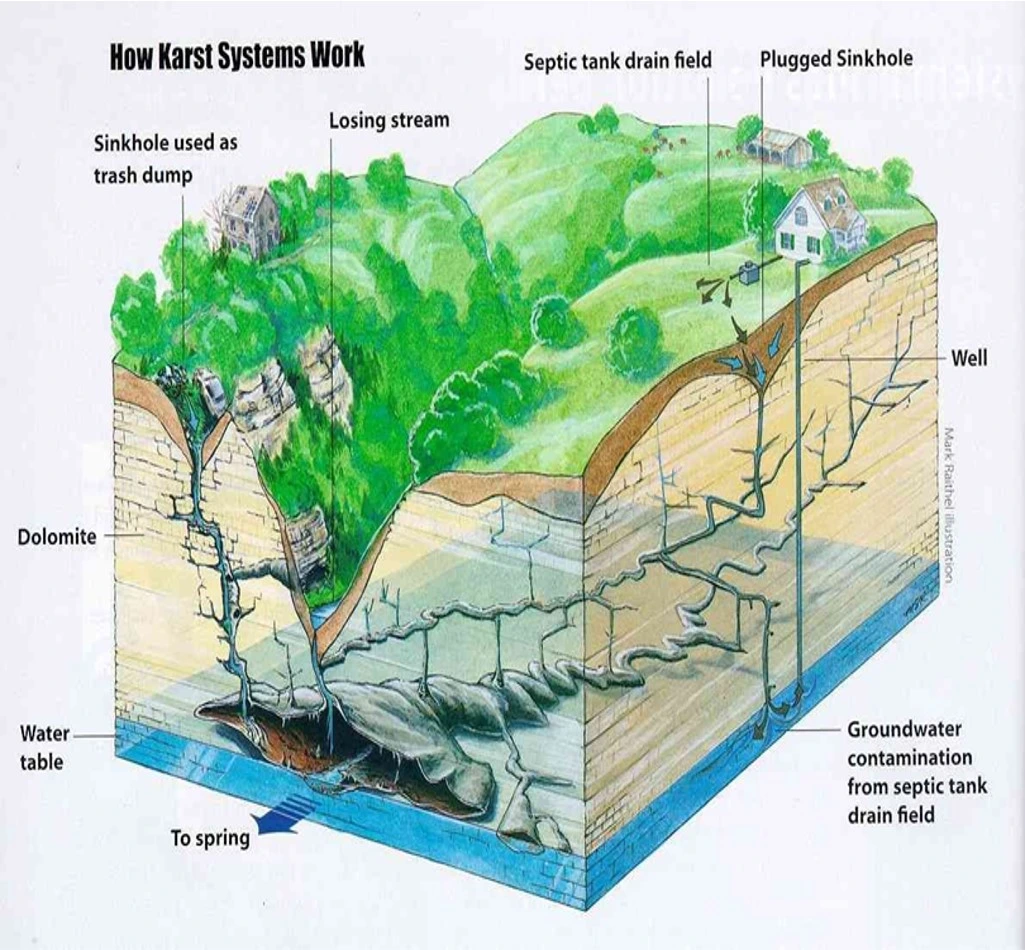
Karst landscape diagram
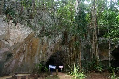
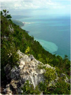
Karst in Cockpit Country, Jamaica
In my professional work I grappled with many water challenges. Access to potable water remains a challenge for many in the Jamaican population. Surface water features are less evident in rain shadow areas and karst landscapes with characteristic features such as sinkholes, gullies and underground rivers. Lack of access to water drives land use and waste management practices that may increase contamination of water resources. Given that the island is heavily dependent on groundwater as its primary source of potable water, there is inadequate infrastructure investment to deliver water to people where needed.
Groundwater is unsustainably managed and is increasingly vulnerable to long-term degradation due to over-abstraction, saline intrusion and contamination of karst aquifers and climate change impacts. Despite being tropical and small, Jamaica’s water landscape is heterogenous and has arid zones. Plus, more frequent droughts, wildfires and annual threats of hydrologic storms signal impacts from a changing climate. Already, Jamaica is seeing strong evidence of adverse impacts from climate change that will exacerbate its water challenges. This includes declining and changing rainfall patterns, higher ambient temperature, and more severe storms and droughts.
My various experiences have led me to the conclusion that similarities in water resource management issues transcend culture and geographic boundaries. This understanding also led me to join the PhD in Arid Land Resource Sciences program in fall 2020. I aim to learn from Arizona as an example of what Jamaica’s future water trajectory could be without action to stem loss of our water resources. I am eager to explore Arizona’s complex and innovative water landscape to gain insight into managing limited resources and designing appropriate policies and actions.
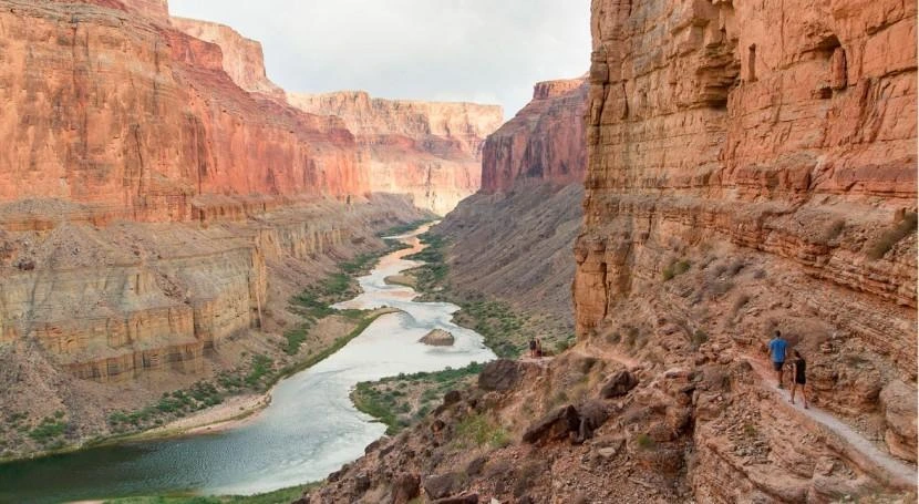
Stream in Grand Canyon Karst Landscape in Arizona
During my Environment & Society Fellowship, I aim to develop a decision support tool to aid in evaluating karst groundwater contamination risk in arid regions and islands in the context of climate change impacts. This work has commenced via a collaboration with the Coconino Plateau Watershed Advisory Council and Coconino Plateau Watershed Partnership to develop a geodatabase and story map focused on examination of water resources issues in the region. Through the geodatabase water resource relevant spatial and temporal data will be compiled in one database enabling quick query and analysis to inform water decision-making. Thematic maps will be developed and incorporated into a story map that will aid stakeholders in their public outreach and education programs that target improving knowledge about water resources and potential contamination from surrounding land use and human activities.
References
- https://www.sandals.com/over-the-water-collection/
- https://kylenwilson11research.weebly.com/major-landforms.html
- https://smartwatermagazine.com/news/northern-arizona-university-nau/loo…
- https://www.pinterest.com/pin/96686723226542321/
- https://www.quora.com/What-is-karst-topography
- https://www.my-island-jamaica.com/geography_of_jamaica.html

